With a recent surge of energy I've been once again working on my portfolio plan for Wynnefield Heights. Developed mainly during the period 1955-1965, the Heights is an exemplar of postwar scientistic planning--that is, very poorly planned indeed. The neighborhood is defined by towers-in-parks and airlites studded in a series of superblocks: one, which I call the North Superblock, extending from City Line all the way down to Conshohocken, and from Monument all the way over to Presidential Boulevard/Neill Drive/Fairmount Park boundaries; the second South Superblock from Ford Road down to the park and Edgely Avenue, and thence over to Monument (with the exception of Balwynne Park Drive); and the last two being the massive Belmont reservoir and filters plant. Even in the
extremely small part of the neighborhood
not defined by these immense superblocks and monolithic developments, a disconnected, hierarchical, overbuilt, autocentric street system holds sway. There is no way from Lankenau Road to Lankenau Avenue, for instance, without going all the way to Conshohocken Avenue. Even in the relatively few locales (especially given the proximity to
Fairmount Park) in the neighborhood where the tower-in-a-park development type is relatively suitable (out-of-the-way, not contributing to excessive superblock typology), such as the development I currently reside in, there is a patina of underbuilt-ness.
Wynnefield Heights is, in short, not densely enough built. As midcentury planning writ large, it offers the strongest proof possible that "scientistic" planning was--and is--
antiurban planning. For, despite being in a city, Wynnefield Heights is just that--antiurban.
Exhibit A: Missing Road Connections
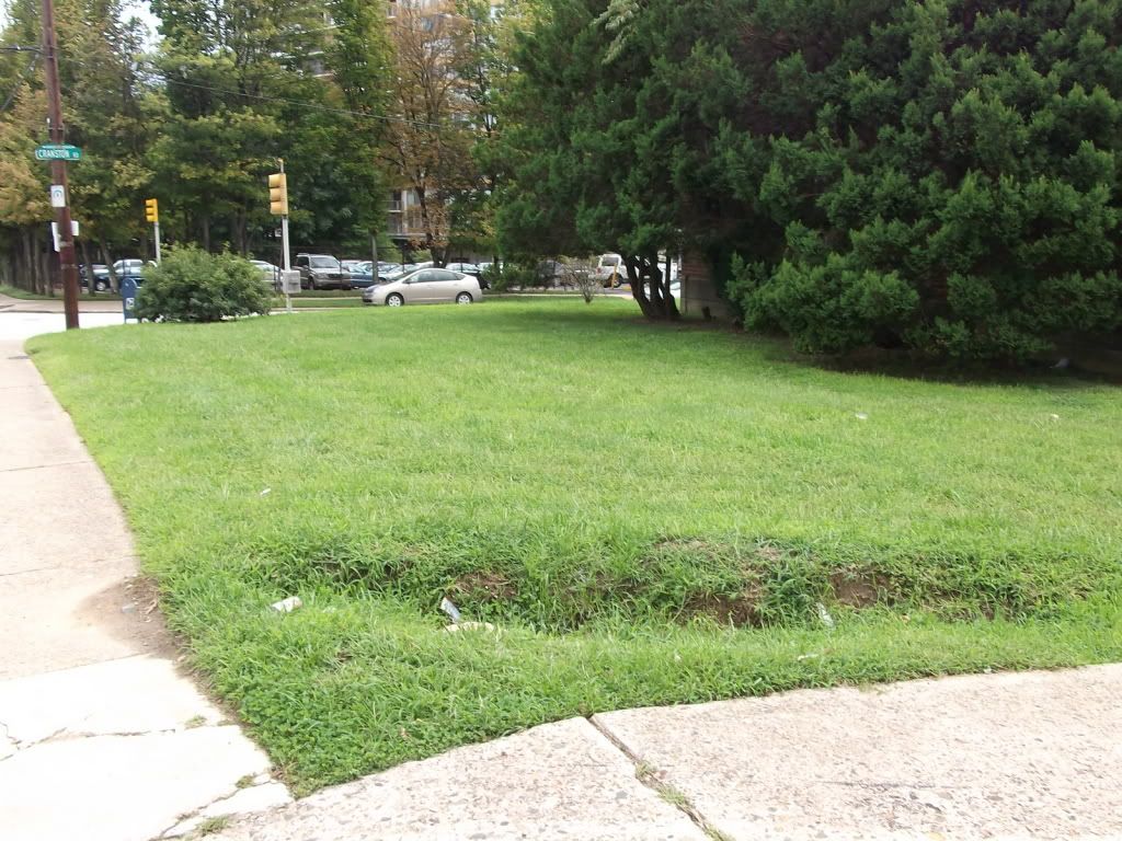
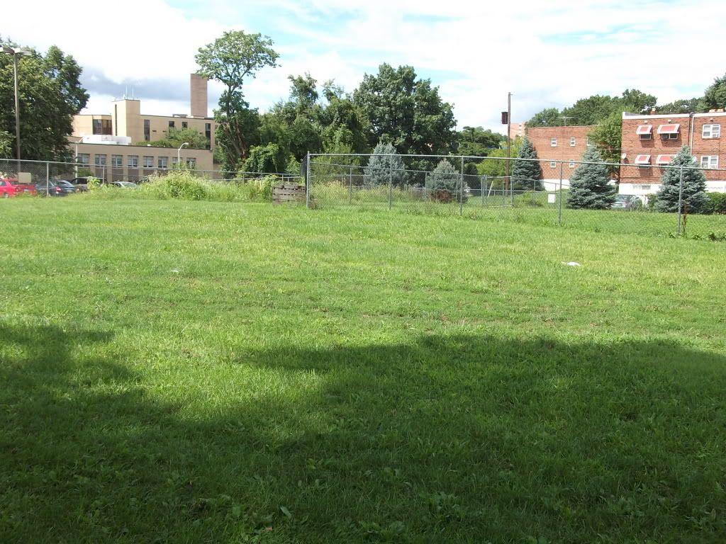
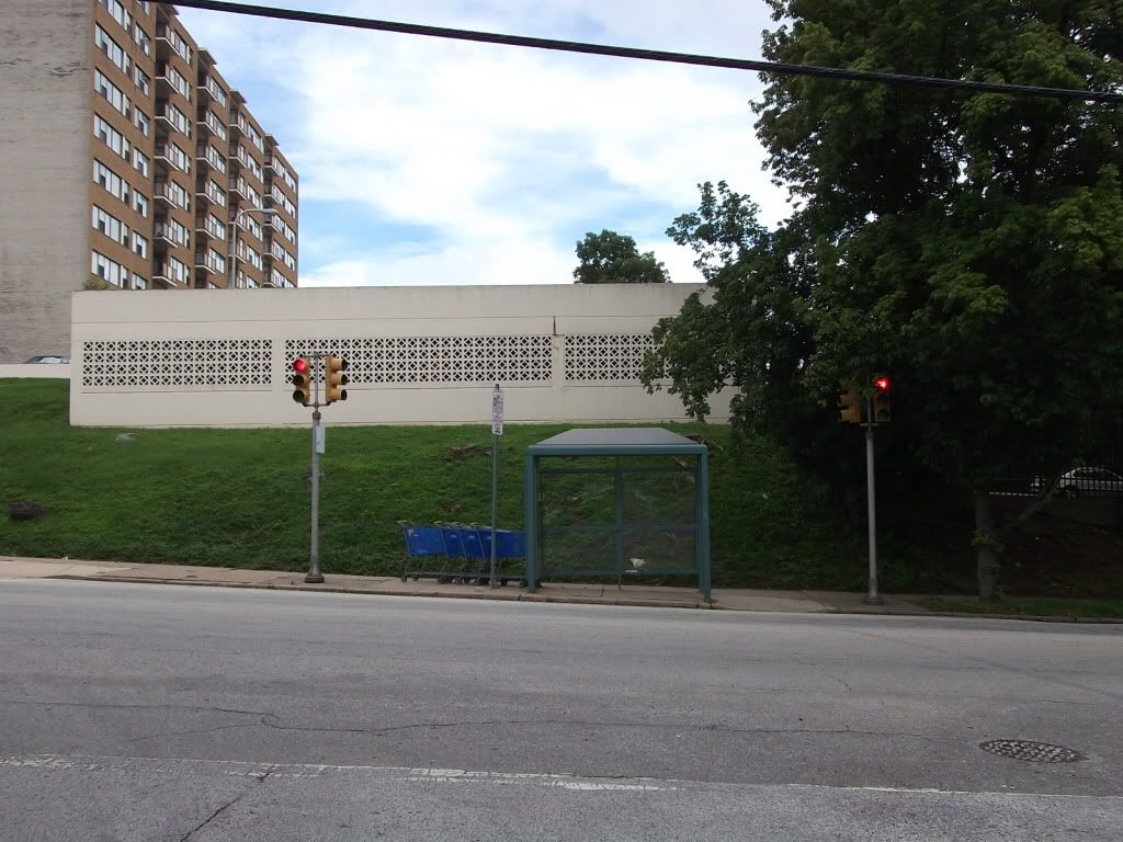
The end of Presidential Boulevard, for example, happens to be a dead end at a slightly different grade than the Target entrance road. The current infrastructure is so bad that, as you can see by the second picture, drivers have actually pushed their own desire line clean across the grass. A T-road or crossroad should be called for here, as the easement for 40th Street meets Presidential/the access road here as well: this easement, as can be seen in the third picture, is basically jungle. Furthermore, the sloping lawn along the side of the Target is 100 feet deep at all points--well and truly deep enough to provide some townhouses facing Presidential, across the street from the garden city Lincoln Green development.
Strangely enough, while there is no vehicular connection here, there
is a sidewalk connection. Despite the obvious lack of maintenance on it, it is heavily--and frequently--used by pedestrians from Presidential City and Lincoln Green looking to access the nearby Pathmark. Once I even saw a State Trooper riding down it! This sidewalk connection is the southernmost point of substantive pedestrian permeability of this superblock.
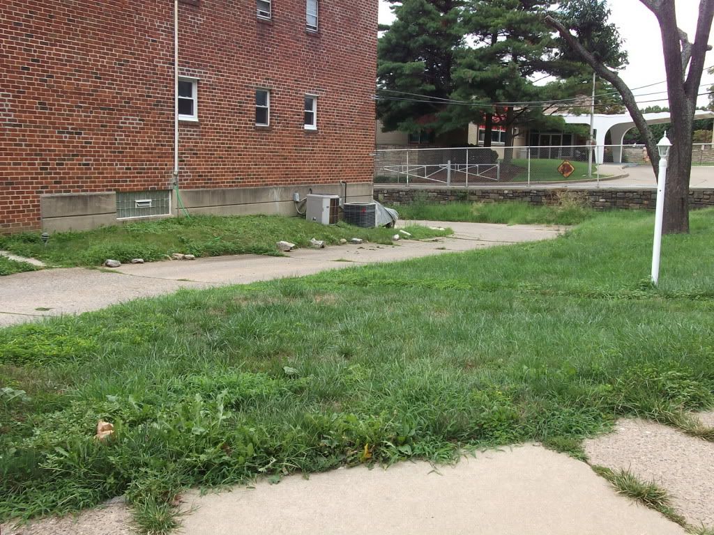
This mowed field is, in fact, the bed of Woodbine Avenue. Woodbine here is inaccessible save through a small apartment complex from Edgely Avenue, presumably run by the Methodists, and one I learned upon egress is
supposed to be gated. In theory, access to this section of Woodbine would be effected via the former bed of 41st Street--but that easement has
also been fenced off, possibly illegally, by a transmission tower right next door. The sum effect of all this is that there is a substantial area of public right-of-way unavailable to public use.
Exhibit B: Underbuilt/Poorly Built Development
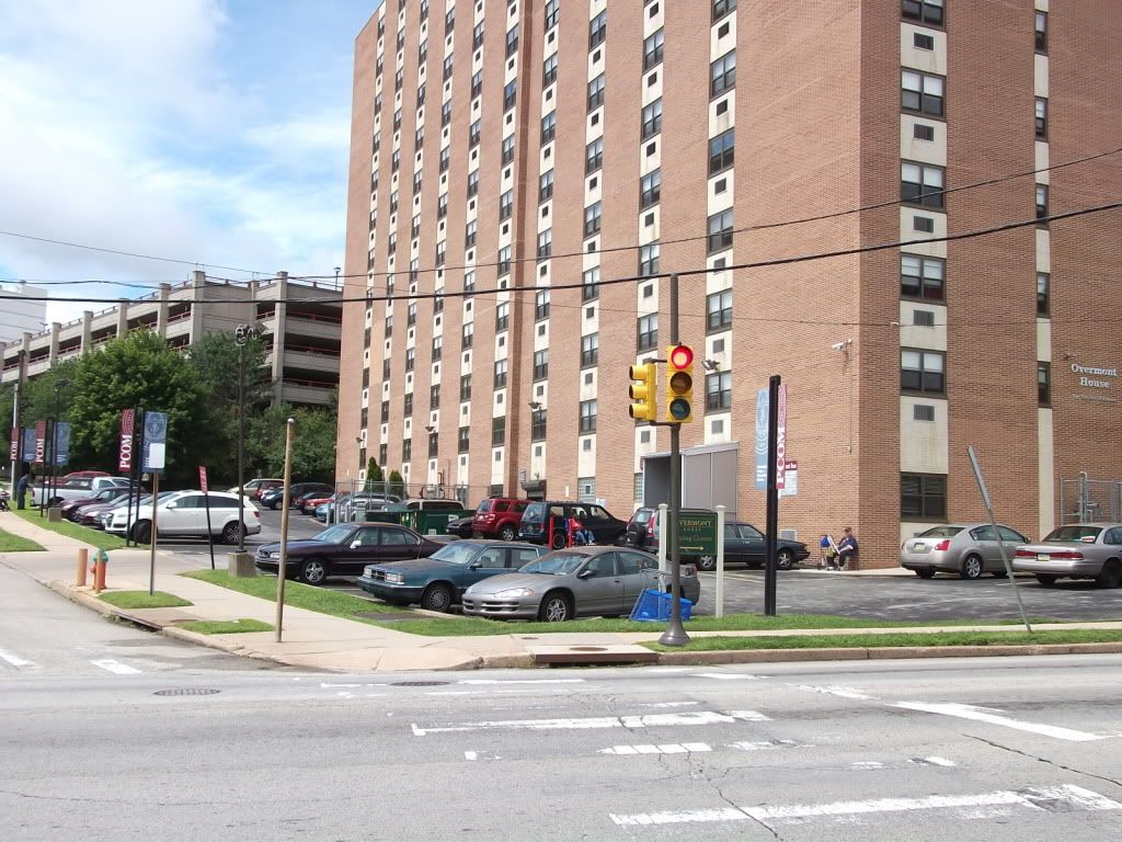
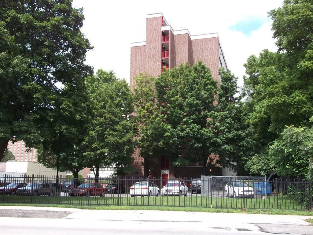
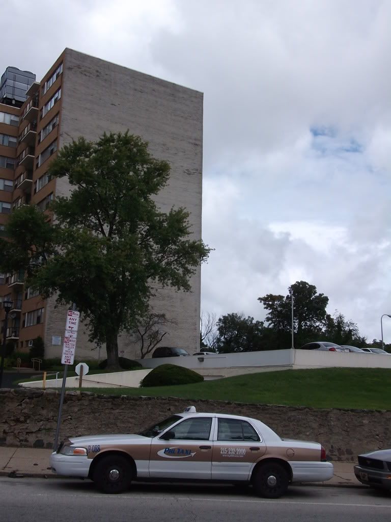
This is a catalog of several Wynnefield Heights towers-in-parks, most of them along Conshohocken Avenue. These developments are almost uniformly
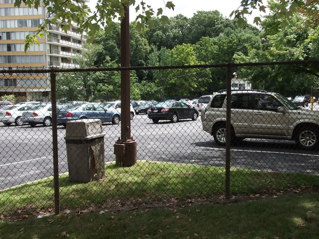
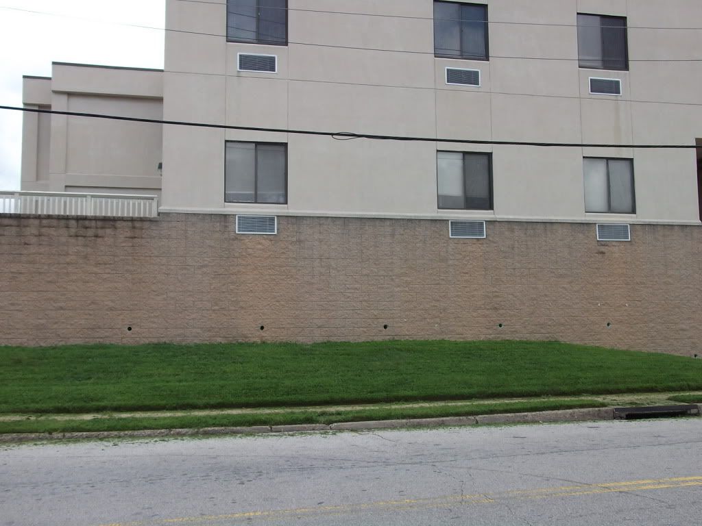
never built to a high degree of density, despite their verticality, and instead sit on small pads in the middle of the plot wreathed by parking lot. Space that would be good for townhouses, townhouse-style apartments or condos, annexes, wings, or even whole new buildings is instead used for--parking! And to make it worse, in two locations the complex presents prime streetside land blank walls, at least one of which is for a parking garage.
Also note these developments are all gated. For pedestrians, it is like a cattle chute: you're herded onto Conshohocken Avenue or Ford Road.
Check this out! This assisted-living facility offers a pleasant, if blasé, stucco face to Ford Road, but Cranston gets a...blank wall. There seems to be no good reason for the blank wall here; even the older wing managed to put in some basement windows. And perhaps some of their, er, customers would feel more
empowered if you gave them a chance to run a small business, especially considering what's right next door:
Nor does the underbuilt-ness end there. The airlite development along the former property of Woodside Amusement Park (think Philadelphia's Coney Island) too has a series of missteps: along Ford Road, a 30-foot-deep front yard*, one which houses facing Cranston or Balwynne Park but whose sides face Ford also replicate, and secondly, an alley built into one of these setbacks instead of being built straight out to Ford:
 |
| Prime buildable area. |
 |
| Also prime buildable area. |
Frankly, the only part of the whole area that doesn't feel grotesquely underbuilt is the development along Country Club Road, built to the same dimensions as Belmont Village but with more Modernist architecture, and where, at 50 feet, some of Wynnefield Heights'
narrowest roads reside.
Since these two issues make up the substance of my complaint about Wynnefield Heights, my plan for it must obviously (a) improve connections for all modes but principally for pedestrians (and cyclists), and (b) promote densification. So--more roads and upzoning. These two issues will be explored (hopefully) soon.
_____________________
*
This when the relevant zoning, R10, doesn't prescribe any setbacks. I stand corrected. The relevant zoning is
R9, which requires a 9-foot front and back setbacks. Even so, the setbacks along Ford exceed zoning by an excessive amount.


No comments:
Post a Comment