Showing posts with label Wynnefield Heights. Show all posts

Sunday, August 21, 2011

Wynnefield Heights 2: Creating Connectivity

A few days ago, I began this series with a critique of Wynnefield Heights' present conditions. The two major issues the neighborhood suffers from are a lack of interconnectivity and a poor built form. So, for this post, I am looking to make the Heights more interconnected. This is done through (a) a full streets and paths plan and (b) a transportation plan. The streets and paths ("connectivity") plan of course governs where new streets and paths need to be built, while the transportation plan governs how mass transit service runs through the Heights.

Connectivity Plan

Building Blocks
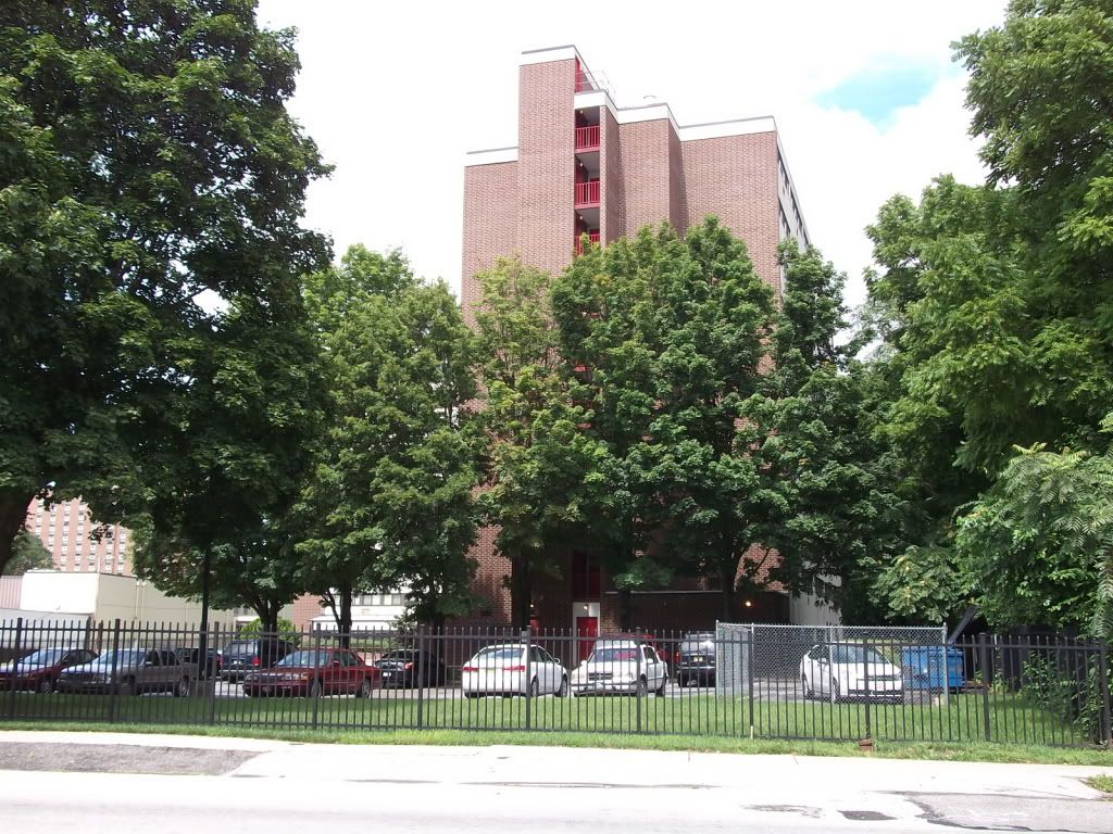
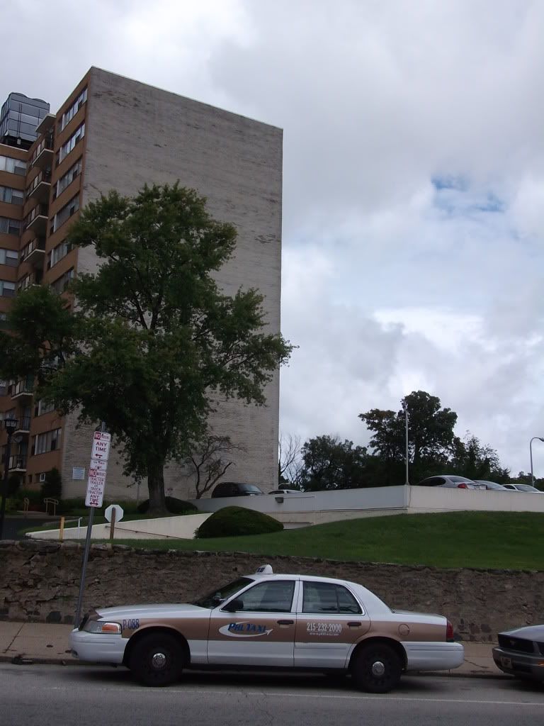
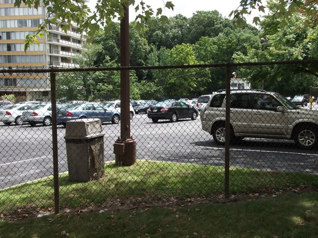
Wynnefield Heights, as it currently is, is highly disconnected, broken by arterials into a series of superblocks later split into subdivisions and towers-in-parks. From the five points at the center of Wynnefield Heights, where Monument and Ford Roads and Conshohocken Avenue all meet, no fewer than four of the radiating blocks are superblocks (see Figure A). Two of these are occupied by the mammoth Belmont Filters water plant; one is occupied by a row of towers-in-parks punctuated by a megachurch; and the last, by the Belmont Behavioral Health Center and a large Methodist facility constituting a former orphanage and a major assisted-living center.
Figure A: Current Road Network. Note disconnectedness.
Assisted-living centers, in fact, pockmark the neighborhood: besides the Methodists' Simpson House, there are also the Salvation Army's Ivy Residence, the Jews' B'rith Shalom and the more nondenominational Park Tower and Bala Nursing and Retirement Center, as well as Inglis House just across Belmont Avenue in Belmont Village. These centers have grounds of varying sizes, yet frequently have to be designed around in order to accommodate the goals of densification and urbanization here by the top of Fairmount Park.
Figure B: Road network additions (in red) help cut the superblocks down to size.
Two interventions are needed to remedy this situation: the establishment of new streets to break the walls of the superblocks down (Figure B), and the establishment of new paths to interconnect in a non-automotive capacity, particularly into Fairmount Park (Figure C). Road additions, in particular, are engineered to follow the path of least resistance: they follow alignments that either (a) remain in the public realm, (b) run along property lines, or (c) follow existing access roads (particularly in the towers-in-parks) as much as possible. By contrast, trail network additions are engineered to be more picturesque: they wind around the backs of buildings and connect disconnected fragments of the road network, and also provide pedestrian access to both the City Line and Falls bridges, neither of which currently has anything near adequate connectivity for anybody who doesn't drive, and seeks to convert a deep glen in Fairmount Park next to Neill Drive--according to a 1910 topographical map of the park, Roberts Hollow--into a hiking and picnicking area as well as restore former Fairmount Park drives Midvale and Steinberg Avenues to use.
Figure C: Multi-use trails (in yellow) to be added in and around Wynnefield Heights.
Both networks intermesh to provide a reasonably high level of neighborhood connectivity (Figure D). While certain curvilinear elements remain in this plan, pedestrian access points now come in the hundreds, rather than thousands, of feet; absurd superblocks are chopped down to size; and active park uses are bought to the section of Fairmount Park which cuts deepest into the neighborhood (i.e. Roberts Hollow).
Figure D: Streets and trails intertwine to provide greater interconnectivity.
How to Make It Happen
These extensions necessitate an expansion of the public realm in Wynnefield Heights. While there has only been one traditional way to extend the public realm--acquisition via eminent domain--in Wynnefield Heights, two other opportunities besides present themselves. These two are simply to build where the property is already public and to work out an agreement by which towers-in-parks allow public access on their already-existing streets in return for alternative compensation--such as density bonuses or a tax break. This latter method is employed as the predominant method to break up the Northern Superblock: instead of using eminent domain and transferring all the necessary private drives to the public realm, eminent domain is used only where major modifications need to be made to offer accessibility, while these public-private agreements--sort of like the City leasing rights to the existing private drive--ensure access into the heart of the superblock.

Another issue is the extreme grades from the plateau down to the Schuylkill--a drop of some 200 feet. A bridge is planned for over Roberts Hollow between tentatively-named Country Club Road and Neill Drive; this bridge allows a cutoff for people wishing to access eastern Wynnefield Heights without passing through the five points or dropping all the way down Neill Drive and winding all the way back up Conshohocken Avenue. Getting good trail access around this hollow will be tricky.

Transportation Plan

Figure E: Desire lines and proposed mass transit connections between Wynnefield Heights and the three nearest major universities. A large percentage of the occupants of multifamily housing in this neighborhood come from one of these three institutions.
Current bus transit in Wynnefield Heights is adequate for most purposes. However, it lacks a few key interconnections--particularly to nearby Philadelphia and Temple Universities. (See Figure E.) Furthermore, this lack of a natural Temple connection, coupled with the lack of a strong bypass of Roberts Hollow, forces the 38 bus to go out of its way and traverse a most circular routing of Wynnefield Heights. The long-term transportation strategy is, thus, to run an extension of either the 3 or 39 across the Strawberry Mansion Bridge and through Wynnefield Heights, improving Temple University access; and to reroute the 38 via the new cutoff around Roberts Hollow, described above; additionally, instead of heading to Wissahickon Transfer, the 38 would head up Schoolhouse Avenue past Philadelphia University and terminate instead either at Lyceum in Roxborough, Wayne and Chelten in Germantown, or at the Queen Lane Regional Rail station (see Figure F).
Figure F: First phase of a transit plan. This network uses the 38, 39, 40, and 65 to access every important Heights location.
In the long term, however, consideration must be given to the viability of a light rail line along City Line Avenue; were this to be implemented, the City Line bus patterns would be significantly altered, affecting the Heights tangentially. A bus terminal facility at the corner of Monument and St. Asaph's would replace the overlapping termini loops the 39 and 40 would have in Phase 1. The 40 would either follow Monument straight up, or run along Belmont to Ford, to make this terminus; the 39 would run up Belmont to St. Asaph's and follow that route thence. Light rail would make current 1and 65 service west of City Line and Presidential duplicative, and so the 1 would terminate at this new Cynwyd anchor, and the 65 run through it and along St. Asaph's through Bala Village and then back down towards Wynnefield. (See Figure G.) Commuter buses--currently the 44--would of course, however, continue to follow City Line; they do not have the frequency expectations of the light rail, frequent network, or crosstowns.
Figure G: A longer-term outlook for Wynnefield Heights transit. On this map, the prospective light rail line is labeled "100".
Conclusions

Wynnefield Heights, as it currently is, is a highly disconnected and suburban neighborhood. By improving street and pedestrian interconnections, and by re-examining the bus network, the Heights can be a far more interconnected--and hence urbane--place to live.

Next time I will talk about built form modifications in Wynnefield Heights.

Thursday, August 18, 2011

Wynnefield Heights 1: Current Conditions

With a recent surge of energy I've been once again working on my portfolio plan for Wynnefield Heights. Developed mainly during the period 1955-1965, the Heights is an exemplar of postwar scientistic planning--that is, very poorly planned indeed. The neighborhood is defined by towers-in-parks and airlites studded in a series of superblocks: one, which I call the North Superblock, extending from City Line all the way down to Conshohocken, and from Monument all the way over to Presidential Boulevard/Neill Drive/Fairmount Park boundaries; the second South Superblock from Ford Road down to the park and Edgely Avenue, and thence over to Monument (with the exception of Balwynne Park Drive); and the last two being the massive Belmont reservoir and filters plant. Even in the extremely small part of the neighborhood not defined by these immense superblocks and monolithic developments, a disconnected, hierarchical, overbuilt, autocentric street system holds sway. There is no way from Lankenau Road to Lankenau Avenue, for instance, without going all the way to Conshohocken Avenue. Even in the relatively few locales (especially given the proximity to Fairmount Park) in the neighborhood where the tower-in-a-park development type is relatively suitable (out-of-the-way, not contributing to excessive superblock typology), such as the development I currently reside in, there is a patina of underbuilt-ness.

Wynnefield Heights is, in short, not densely enough built. As midcentury planning writ large, it offers the strongest proof possible that "scientistic" planning was--and is--antiurban planning. For, despite being in a city, Wynnefield Heights is just that--antiurban.

Exhibit A: Missing Road Connections
The end of Presidential Boulevard, for example, happens to be a dead end at a slightly different grade than the Target entrance road. The current infrastructure is so bad that, as you can see by the second picture, drivers have actually pushed their own desire line clean across the grass. A T-road or crossroad should be called for here, as the easement for 40th Street meets Presidential/the access road here as well: this easement, as can be seen in the third picture, is basically jungle. Furthermore, the sloping lawn along the side of the Target is 100 feet deep at all points--well and truly deep enough to provide some townhouses facing Presidential, across the street from the garden city Lincoln Green development.

Strangely enough, while there is no vehicular connection here, there is a sidewalk connection. Despite the obvious lack of maintenance on it, it is heavily--and frequently--used by pedestrians from Presidential City and Lincoln Green looking to access the nearby Pathmark. Once I even saw a State Trooper riding down it! This sidewalk connection is the southernmost point of substantive pedestrian permeability of this superblock.
This mowed field is, in fact, the bed of Woodbine Avenue. Woodbine here is inaccessible save through a small apartment complex from Edgely Avenue, presumably run by the Methodists, and one I learned upon egress is supposed to be gated. In theory, access to this section of Woodbine would be effected via the former bed of 41st Street--but that easement has also been fenced off, possibly illegally, by a transmission tower right next door. The sum effect of all this is that there is a substantial area of public right-of-way unavailable to public use.

Exhibit B: Underbuilt/Poorly Built Development
This is a catalog of several Wynnefield Heights towers-in-parks, most of them along Conshohocken Avenue. These developments are almost uniformly never built to a high degree of density, despite their verticality, and instead sit on small pads in the middle of the plot wreathed by parking lot. Space that would be good for townhouses, townhouse-style apartments or condos, annexes, wings, or even whole new buildings is instead used for--parking! And to make it worse, in two locations the complex presents prime streetside land blank walls, at least one of which is for a parking garage.

Also note these developments are all gated. For pedestrians, it is like a cattle chute: you're herded onto Conshohocken Avenue or Ford Road.
Check this out! This assisted-living facility offers a pleasant, if blasé, stucco face to Ford Road, but Cranston gets a...blank wall. There seems to be no good reason for the blank wall here; even the older wing managed to put in some basement windows. And perhaps some of their, er, customers would feel more empowered if you gave them a chance to run a small business, especially considering what's right next door:

Nor does the underbuilt-ness end there. The airlite development along the former property of Woodside Amusement Park (think Philadelphia's Coney Island) too has a series of missteps: along Ford Road, a 30-foot-deep front yard*, one which houses facing Cranston or Balwynne Park but whose sides face Ford also replicate, and secondly, an alley built into one of these setbacks instead of being built straight out to Ford:
Prime buildable area.
Also prime buildable area.
Frankly, the only part of the whole area that doesn't feel grotesquely underbuilt is the development along Country Club Road, built to the same dimensions as Belmont Village but with more Modernist architecture, and where, at 50 feet, some of Wynnefield Heights' narrowest roads reside.

Since these two issues make up the substance of my complaint about Wynnefield Heights, my plan for it must obviously (a) improve connections for all modes but principally for pedestrians (and cyclists), and (b) promote densification. So--more roads and upzoning. These two issues will be explored (hopefully) soon.
_____________________
*This when the relevant zoning, R10, doesn't prescribe any setbacks. I stand corrected. The relevant zoning is R9, which requires a 9-foot front and back setbacks. Even so, the setbacks along Ford exceed zoning by an excessive amount.

Monday, June 20, 2011

Connections

I went for a walk today. I'm a hardy pedestrian, I want to see the nice houses in East Falls up along Henry and Midvale, and since I've got a nasty sunburn across my shoulders my girlfriend doesn't want me to go swimming for a couple of days until it clears up, so I figure, why not?
This is the route I took. Extraneous arrows signify direction I was walking.
But I didn't have to go too far for things to start going wrong. Right off the bat, there is no sidewalk along Neill Dr. all the way down to the Falls Bridge. Now, this is an access road for West River MLK Jr. Drive, and it has no less than two major blind curves, and I was forced to cross at the corner of Falls Rd. and again between the Schuylkill Expressway and Norfolk Southern underpasses. The shoulder is in deteriorated condition, and shrubbery sometimes blocked the way, all the while as cars rocket past at 50 mph on a 25-signed road. To say this road is pedestrian-hostile is an understatement.
Typical conditions along Neill Dr.
East Falls is a mighty nice neighborhood, with classic Main Line building stock (where it departs from the Main Line: (1) It's accessed via former Reading lines, rather than Pennsy ones, and (2) it's in the city), but oddly it has some rougher-looking blocks near the foot of the hill, and the river side of the Ridge Avenue business district is grotesquely underbuilt. However, when I endeavored to get back across the river, this time via the City Line bridge, I found myself having to navigate a sidewalk ramp jammed in any old how between a wasp's nest of ramps connecting the auto traffic to even access the bridge--and then, once across the river, found myself having to bushwack thistles and poison sumac just to follow a sidewalk less than ten feet away from a major arterial and U.S. highway!

This. Is. Unacceptable.
Dangerous pedestrian conditions along City Line Ave. Believe it or not, there's a sidewalk under all that brush.
This lack of pedestrian interconnection between Wynnefield Heights and East Falls* effectively isolates the neighborhood from its cross-river neighbors, making it feel culturally more a part of uppermost West Philly (Wynnefield, Belmont Village) and the Lower Main Line (Cynwyd) than Northwest Philly, even though--with the proper densification strategy--it can sop up the demand for living close to Manayunk and East Falls destinations. While the large apartment structures in Wynnefield Heights are holding up well (I should know, I live in one), the smaller, traditionally owner-occupied, airlites in the neighborhood are starting to show signs of neglect. These Wynnefield Heights apartments are also incredibly convenient for St. Joe's students and moderately convenient for Temple students. They should also be incredibly convenient for Philly U. students, as the commute would be, quite literally, down the hill, over the bridge, back up the hill.

But they are not.

To get from City Line and Presidential, Wynnefield Heights' most transit-rich intersection, to Schoolhouse and Henry, Philly U.'s main entrance, requires a two-mile walk with a 200 ft. overall change in vertical elevation (down a hundred feet, and back up), or at least one transfer via bus (65-32, or 1-K and walk down Henry), despite the fact that Wynnefield Heights is equidistant between St. Joe's (54th and City) and Philly U. This, again, disconnects Wynnefield Heights from the northwest neighborhoods, and strengthens their connection with West Philadelphia, which is almost certainly part and parcel of the early signs of neighborhood deterioration visible in the airlites.

Solutions?
1. Mow the brush along the sidewalk along the City Line Bridge. Like, once every two weeks or so. The current conditions are deplorable overall and absolutely unacceptable for a key pedestrian linkage.
2. Extend a multi-use trail up the shoulders of Neill Dr. and Falls Road. Neill, in particular, sees high biking use despite its total lack of facilities, and would see more pedestrian use (the woods are pleasant) were there facilities. Borrowing one of its shoulders would be cheap and effective.
3. Extend the 38 from Wissahickon Transfer up Schoolhouse Ln. at least as far as Philly U., and preferably to either the Queen Lane or Chelten Avenue stops along the Chestnut Hill West line. Yes, the 38 is already a long route, but, well, the 23 is longer. This creates a more direct, one-stop public transit service from Wynnefield Heights to Philly U. and improves East Falls' own transit interconnections.

Longer-term solutions? Well, I think I want to spend a whole post on that, but suffice to say, current planning and service in the area is atrocious compared to what could be done. Why is there, for example, no easy pedestrian connection between Wynnefield Heights and Wissahickon Transfer? Or East Falls and same? For as important a transportation center as it is, Wissahickon Transfer feels kind of out in the middle of nowhere. Also: isn't there a better way of connecting the City Line Bridge to Ridge, Kelly, and Lincoln than that interchange-like knot? These are the questions better answered with a broader East Falls plan.
____________
* And--just ask anyone who's walked it--Manayunk and East Falls.

Tuesday, May 24, 2011

Planning the Park West Area

Fixing wasted potential west of Fairmount Park

The Park West area is special in my heart because it's where I live. It consists of three Philadelphia neighborhoods--Wynnefield, Wynnefield Heights, and Belmont Village--west of Fairmount Park and east of the Main Line (you can see it passing Overbrook Station), as well as Bala and Cynwyd* villages in Montgomery County. It's home to St. Joseph's University, the Philadelphia College of Osteopathic Medicine, two more seminaries, and about 30,000 jobs clustered between City Line and St. Alsaph's east of Belmont Avenue. It even boasts a minor skyline accentuated by its hilltop locale.

But it's a weird place. The job core in Cynwyd is like Corbusier's wet dream, towers surrounded by an expanse of parking. Apartment and condo developments attempt to be towers-in-a-park while at the same time turning a blind eye to the beautiful expanse of upper Fairmount Park. So ignored, in fact, is it that what should be prime land that airlites, not towers, border the park!

Other than that, City Line from Belmont to St. Joe's is a fairly typical example of a suburban strip. Philly's Saks and a Lord and Taylor, oddly enough, reside here. St. Joe's has two residence halls (Rashford and Borgia) hugging the street--a first--but neither goes the next step and develops ground-floor retail. The fact the base is used for parking is hopeful, however; the available floorplates are large and easily enclosed, should desire merit. Finally, City Line is home to a number of 1920s-era garden apartments; these are the district's oldest buildings and are a handsome building stock.
The plan is split into three sections for convenience: the section including Wynnefield Heights and the Cynwyd office core is the picture above, and the one for the stretch of Parkside behind the Mann Center below.
The pictures are simple enough, but a word about the transportation plan: the 10 extension, 49, and 100 proposals from Philadelphia2050 are all worked in, as is (parenthetically) the Cemetery Heights line. The 10 extension is a fairly straightforward lengthening of the existing line about five blocks up 63rd from the current loop just south of Woodbine up to the Overbrook train station, low in expense and moderate in impact; the 100 (fuller post later) would be a route stretching from 69th Street Terminal up to Ivy Ridge via City Line and Main Street Manayunk; it would run predominantly on a dedicated ROW in the middle of City Line. City Line itself would be made a complete street according to best practices. In Wynnefield Heights, the 38 and 40 have been reworked slightly, and the 39 extended from its current terminus across the Strawberry Mansion Bridge, allowing for a more direct route from this jobs center to Temple U. and the nicer parts of Kensington. These routes now all service nearly all Wynnefield Heights' main byways. In the longer term, with parkside densification, a light rail extension, perhaps a conversion of the 40 into light rail and a rerouting of the bus lines, will make sense. As it is, there are too many towers-in-a-park there now, and not enough towers-by-the-park to make this section of the city seem a destination.

Two other major transportation features in this plan are (1) adding pedestrian interlinkages in the superblock between Presidential, Monument, Neill, and Conshohocken, as well as a pedestrian path along the park edge (Parkside Avenue is extended for lot access), and (2) the extension of the Cynwyd Trail from Cynwyd Station down to Bryn Mawr Avenue. This will connect the Belmont Plateau into the region bike network, and offer a new bike route between Center City and the Main Line, as well as a velocentric interconnection between Center City and Cynwyd. Eventually, this route will cross the Pencoyd Viaduct and connect with the Schuylkill Valley Trail near Shawmont.
Finally, this plan establishes a TOD area around Overbrook. Despite its regional importance, the place where City Line crosses the Main Line is underbuilt. The Executive Apartments turn a parking garage to the street; the corner of City Line and 63rd across from the station is a grassy lawn between two garden apartments. St. Charles Borromeo Seminary has a massive grassy field fronting City Line less than 500 feet from the station, and the Merion Gardens too snubs the main artery. Overbrook is where the Thorndale Line, 10, and 100 meet; it is the south anchor of City Line; densification here is most important.

So there you have it, and you also have my philosophy towards urban planning: zoning and design guidelines (face the street, numbskulls!) are my arbiters--I do not urban plan at the site level. Transportation planning, however, is one of the most importation parts of urban planning, and thus (outside of upzoning and preservation areas), most of my urban planning is actually access (transportation) planning.
_________
* Pronounce: Kin-wood.